Aerial

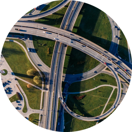
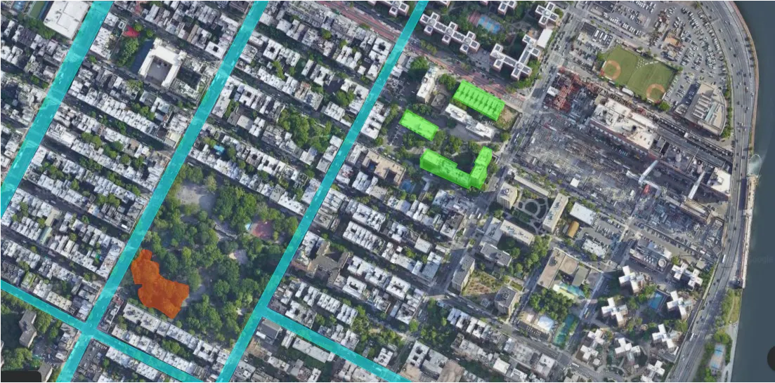
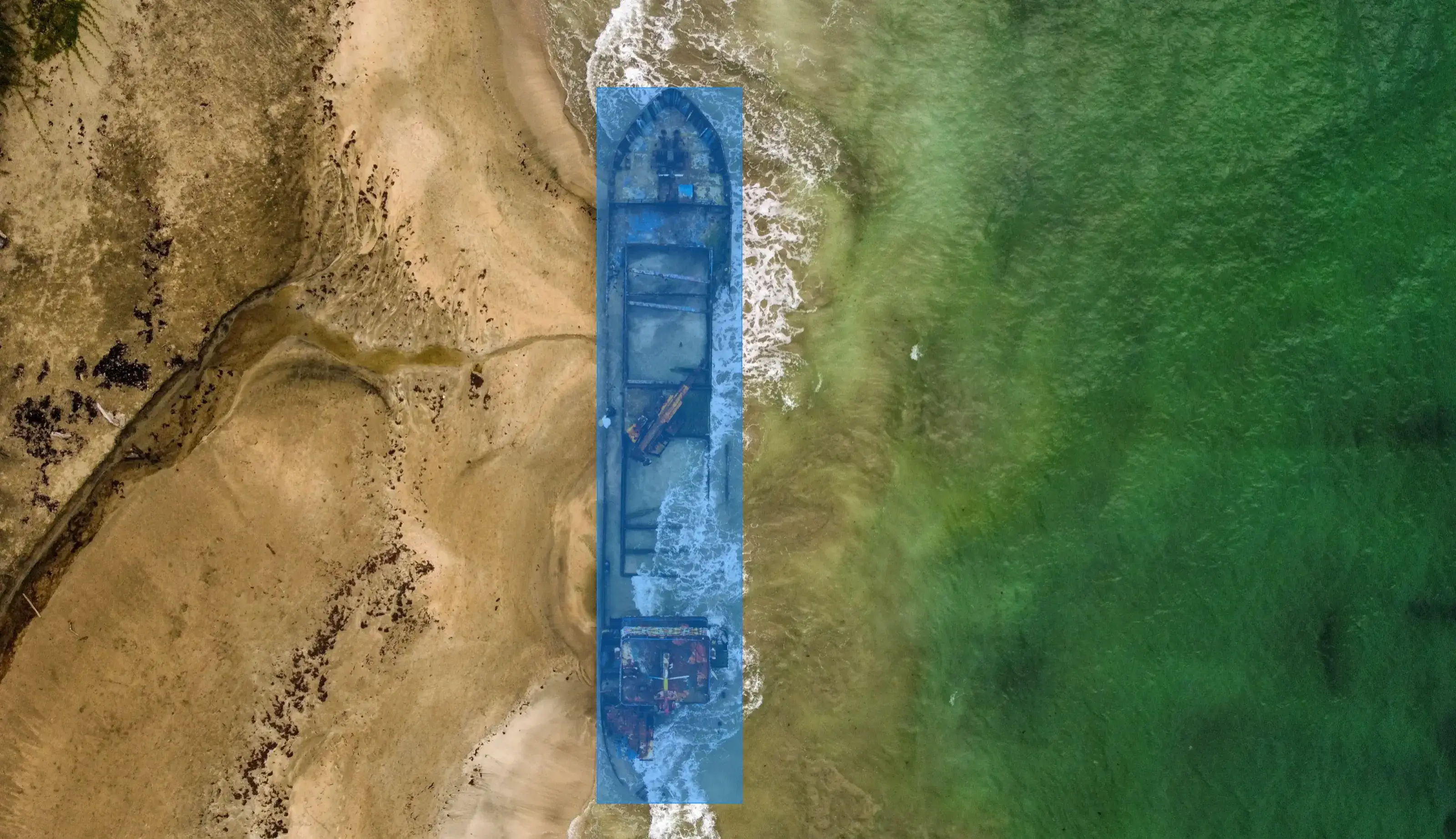
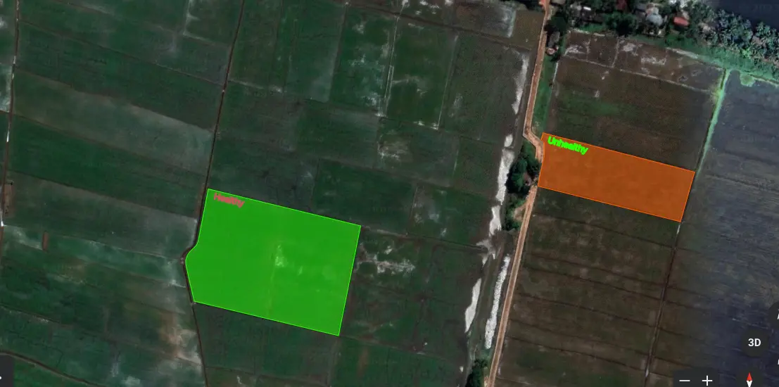
Roora's aerial annotation services use cutting-edge technology to accurately label aerial imagery for AI. Our team of experts provide high-quality annotations for a variety of applications, including mapping, land-use analysis, and urban planning. With our service, you can train your AI models to recognize objects, classify land types, and generate insights that can inform decision-making. We use advanced techniques to ensure accurate labeling of images, such as semantic segmentation, object detection, and image classification. Our services are customizable and scalable, ensuring that you get the exact annotations you need for your project. Trust Roora for your aerial annotation needs and see the difference in your AI capabilities.

Satellite imagery

Buildings, roads, water bodies, and other land features can be distinguished in pixel-perfect detail from satellite photographs of entire cities. Other use cases include recording changes in settlements and land usage over time, as well as monitoring water bodies and clouds.

Disaster Management System

AI powered drone are implemented during the times of disasters to

  • Analyze the impact of disasters
  • Find & Rescue people and animals
  • Natural Disaster prediction System

Search & Rescue

Drones are used to find crashed aircrafts in the middle of sea and forest.

Field Analysis

Aerial Images of crop fields are annotated for AI powered Crop Health Monitoring systems.

Industrial Inspection & Monitoring System

Drones are used to monitor and inspect large construction sites using AI which is ten times more efficient than human inspectors.